Mapmaking

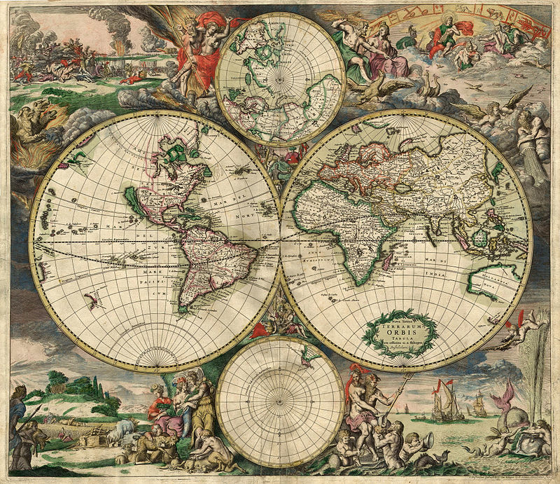
"World Map 1689" by en:Gerard van Schagen - This image is made up of six separate images downloaded from Helmink.com and stitched together.. Licensed under Public Domain via Wikimedia Commons
As part of the worldbuilding for the novel I'm working on, Claws of the Chimera, I've been making a map for the setting. I wanted to share a few of the things I've learned, and the resources I've been using.

Rivers start tiny, move towards lower ground (the sea) and get thicker as more tributaries join. Image © Karl Musser CC-BY-SA-2.5
- Real life geography is important! I started out with the io9 article 10 rules for making better fantasy maps, but point #3 was the most immediately useful: Study real geography. Specifically rivers, which were the main things I had problems with.
- Rivers don't just fork for no reason at all. I spent quite a lot of time enjoying Reading With a Vengeance's blog about rivers in fantasy maps, and it's encouraging to find out I'm not alone. Particularly, my rivers like to have random forks in them, but unless there's a really good geological reason for that (or a man-made reason), they shouldn't fork. Instead they come together, flowing downhill.
- Swamps don't just happen where it's plot-appropriate! As this Fantasy Mapmaking 101 article points out, "Swamps are formed in soft, low lying ground near to a source of ample water. That source may be the ocean, a lake, a river, or even an aquifer."
Here's the first version of my map:
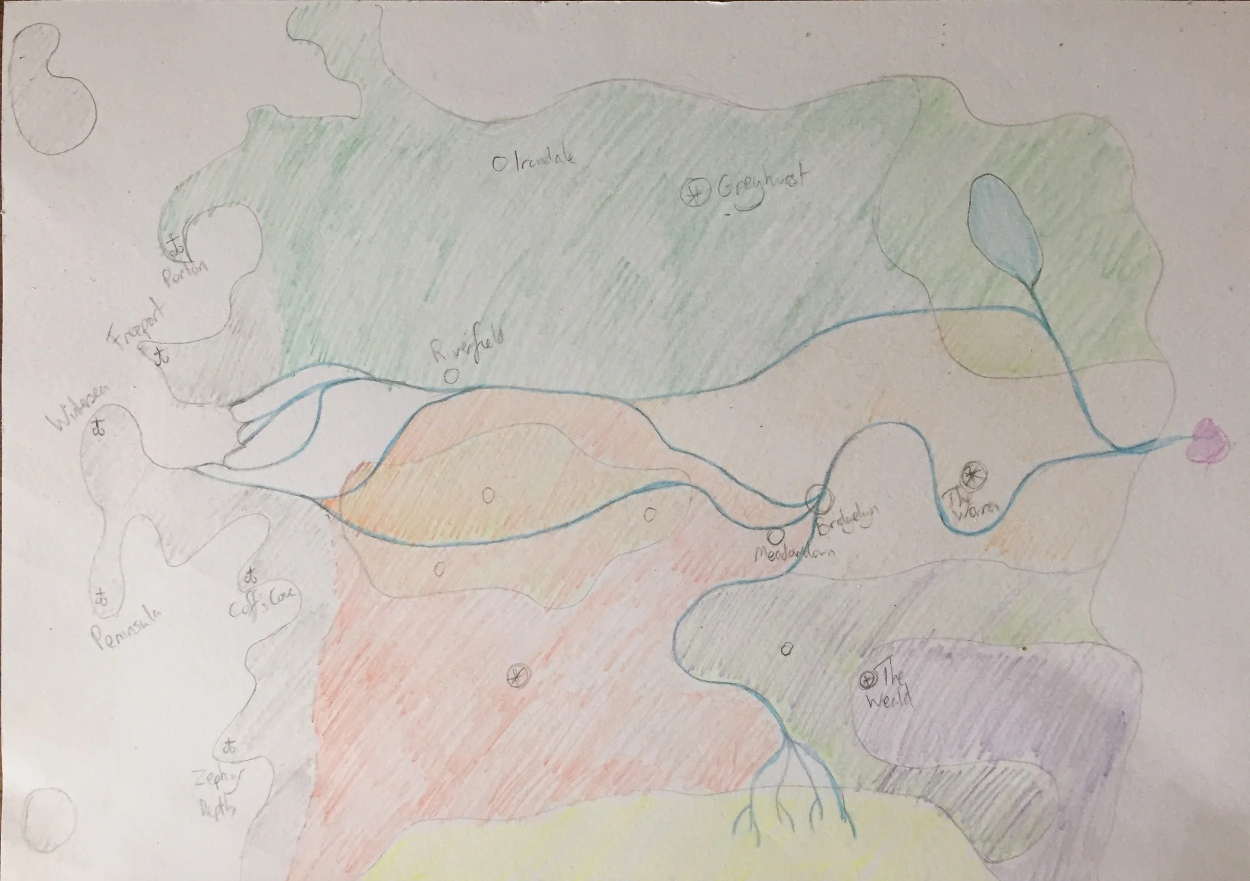
The swamp is the yellow at the bottom. The only big watersource connected to it is the impossibly-forking river coming in from the north. Same applies to the forking to the west - it's not realistic.
A few errors here, mainly in the river forking and swamp placement.
- The last facet I looked into was mountains, and this was the other big takeaway, from this Wired interview with Jonathan Roberts, who mapped Game of Thrones:
"Realism is important, and even imaginary worlds need to have geographic logic; No sense unduly challenging a reader’s suspension of disbelief. This means rivers need to converge as they flow to a coast, mountains form in clusters or lines, and deserts that transition gently into forests.
Here's what I ended up with:
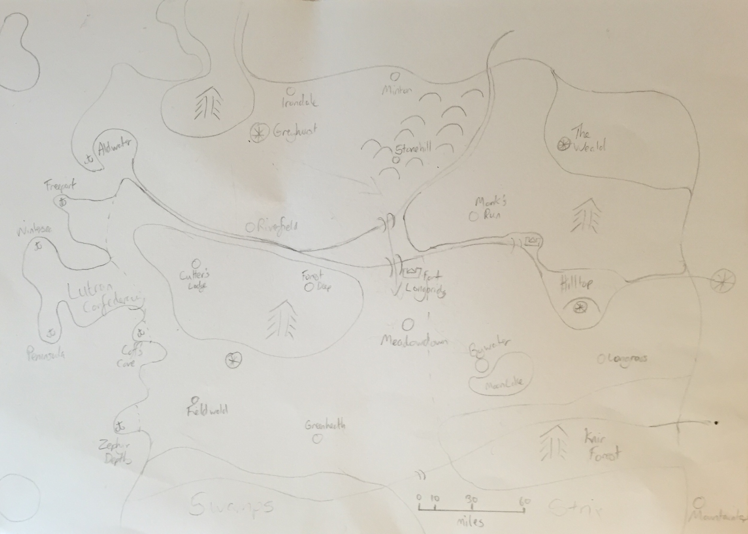
Now there are two rivers flowing downhill, connecting, then leading to the sea. The swamp comes directly from the sea. Mountains in a line to the north and east.
I hope some of these resources are useful to you. How do you approach making maps for your work?